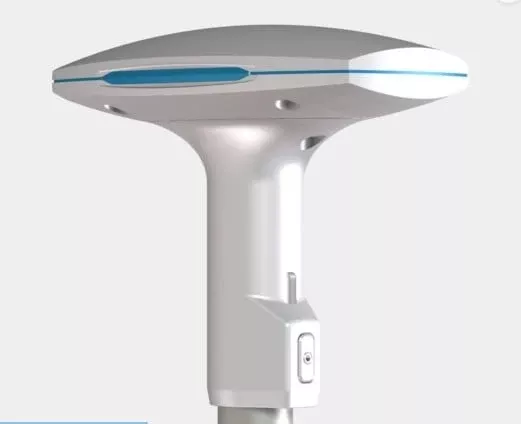
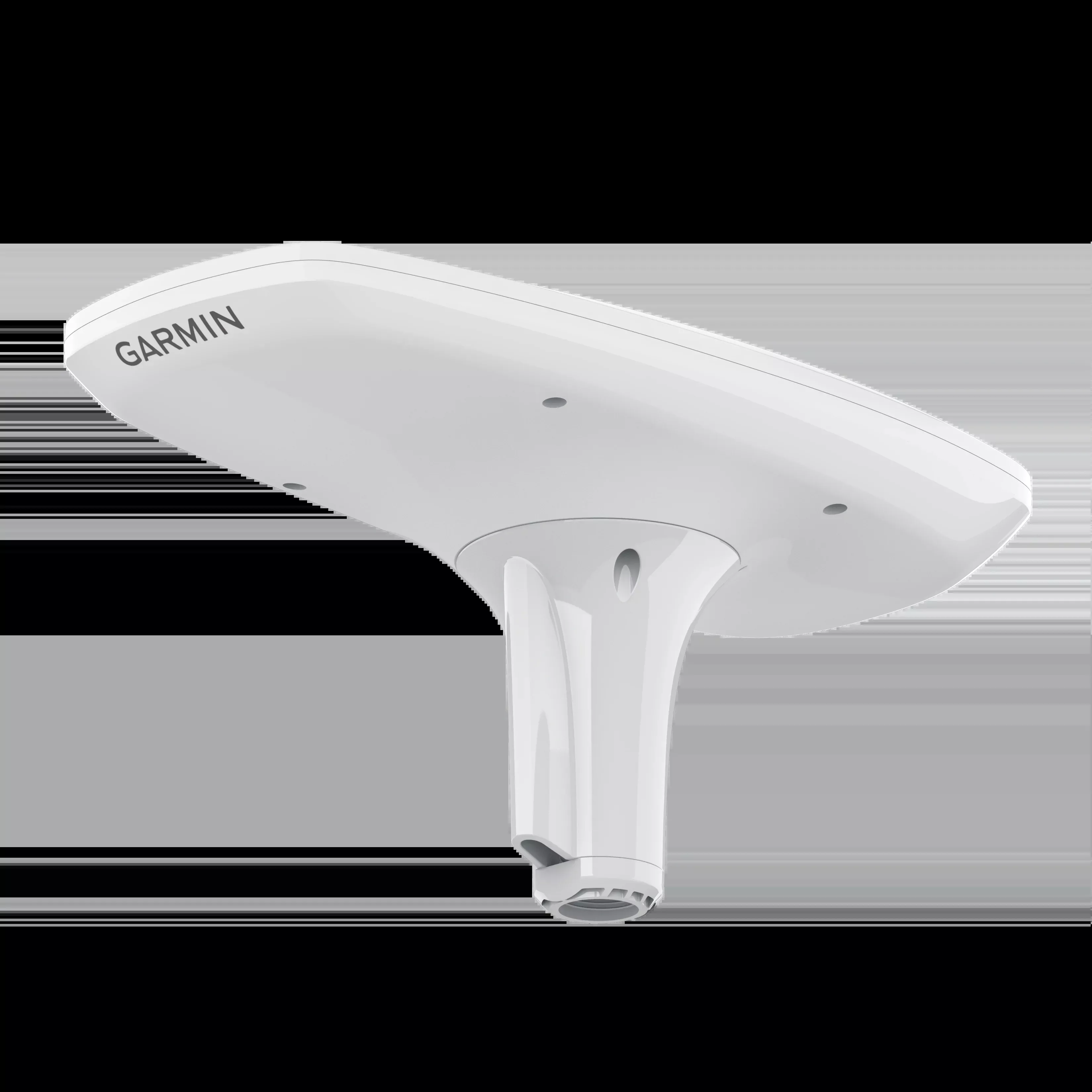
MULTI-BAND and MULTI-CONSTELLATION GNSS
The multi-band GNSS (GPS L1 and L5) and multi-constellation (GPS, Galileo, GLONASS and BeiDou) receiver provides precise positioning1.
Arfada of the boat and much more
Get reliable and accurate information about the boat’s pitch, pitching and swinging, even in irregular waters.
Integrated direction and position reference system (ahrs)
With a fully integrated course and position reference system to improve the GPS course at any speed, including heading in rough seas, when making closed turns or with the boat stopped.
Accurate route data
Several receivers provide course accuracy within a 2-degree radius. Since it uses satellite signals, you won’t have to worry about magnetic interference.
Main sensor in several systems
You can use the MSC 10 compass as the main sensor for autopilots and other on-board systems that require accurate course information.
Compatibility with the NMEA 2000® network
Get information about heading, anchoring, swinging and swaying directly on your compatible Garmin plotter through the NMEA 2000 network.
Features:
- Dimensions (W. X P. X H.): 155.5 X 333.6 X 76.2 mm (6.1′′ X 13.1′′ X 3.0′′)
- Weight: 810 g (28.6 oz)
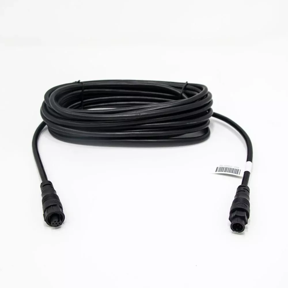
- Cable length: 6 m (19 feet 8 inches)
- Temperature range (white): from -30 °C to 80 °C (from -22 °F to 176 °F)
- Temperature range (black): from -30 °C to 70 °C (from -22 °F to 158 °F)
- Housing material: plastic alloy sealed with glue and high impact resistance, waterproof according to IPX7 standards
- Safety distance of the compass: 0 mm (0′′)
- Power supply: from 9 to 32 V DC, irregular
- Power outlet: from 180 mA to 12 V DC
- Load equivalence number (LEN) of NMEA 2000: 6 (300 mA Max.)
- Position accuracy, typical nautical use: <1 meter Cep, <3 meters 95%
- Course accuracy: 2 RMS
- Sharp precision: 8 cm Rms
FAQs
The cable can be routed either through the pole or outside of it using the included adapters for flexibility in installation.
Avoid mounting near ferrous metals or electromagnetic sources. Test the location and mounting hardware with a handheld compass before installation.
Route the cable through the mount or pole and away from sources of electronic interference for best performance.
The supplied threaded rods can be used on mounting thicknesses of 5 to 30 mm. For thicker surfaces, longer rods are needed.
If you can’t install in an ideal magnetic/GPS location, disable magnetic heading data via a factory reset; only GPS-based heading remains.
Use a standard stainless steel, 1 in. OD, 14 threads per inch, pipe-threaded pole. This ensures secure mounting and correct heading information.
A NMEA 2000 network is required. The device is supplied with a T-connector and drop cable for this purpose.
The compass should be mounted with a clear, unobstructed sky view, away from tall structures, cabins, engines, or EMI sources. Avoid shading and radar paths.
After aligning, finger tighten the nut, then use a 35 mm wrench to turn it 1/4 turn to secure.
Clean with a cloth dampened with mild detergent. Avoid chemical cleaners and solvents to prevent damage to the outer casing.
Fine heading alignment can be adjusted in the NMEA 2000 device list using a known landmark or compass.
Contact the SailRACE team — as certified marine experts we’re happy to help with product selection, installation and after-sales servicing, before and after your purchase.